Island of Vis
Lissain Italian
Komiža is on the west side of the island of Vis. This is the island around it.
-
01/ 05
Biševo
The Blue Cave
The island of Biševo and its Blue Cave, the Modra špilja, are reached by boat from Komiža.
-
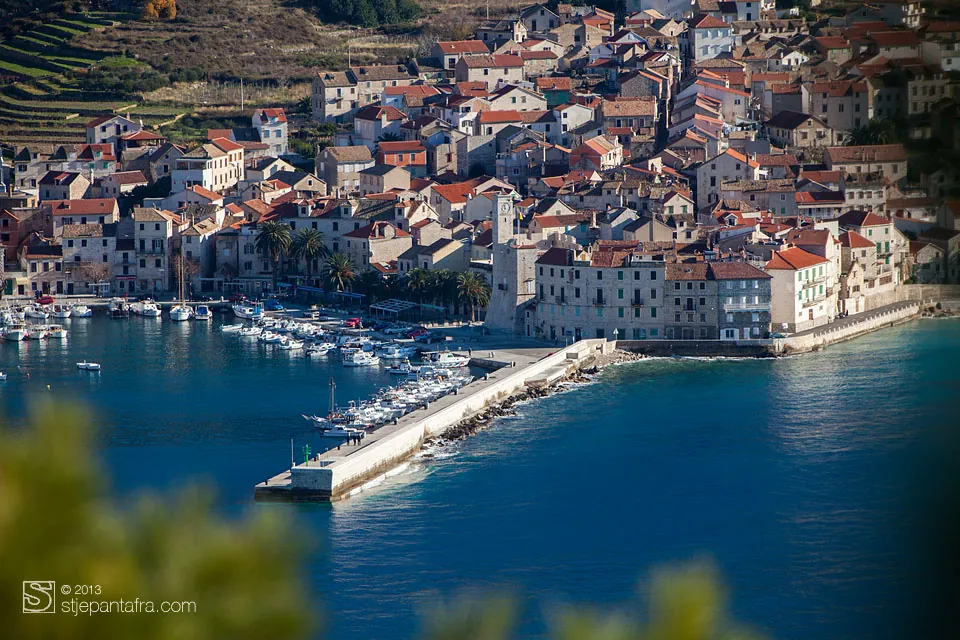
Komiža and its breakwater, seen from the hill 02/ 05
Komiža
The west side
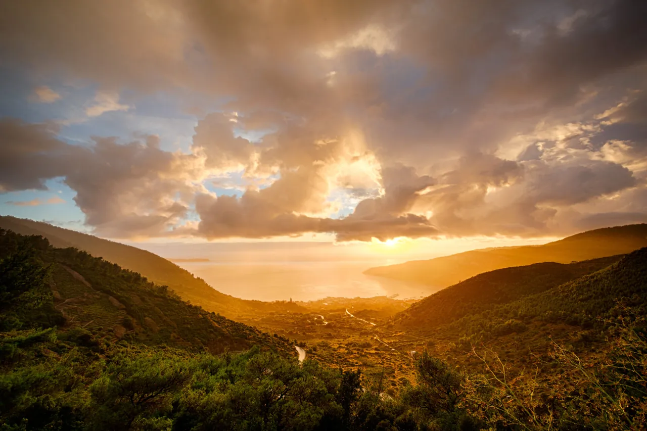
On the west side of the island, facing south-west onto the open sea.
More about Komiža -
03/ 05
Hum
587 m
The highest point of Vis. It rises above Komiža.
-
04/ 05
Stiniva
The south side
A cove on the south side of the island.
-
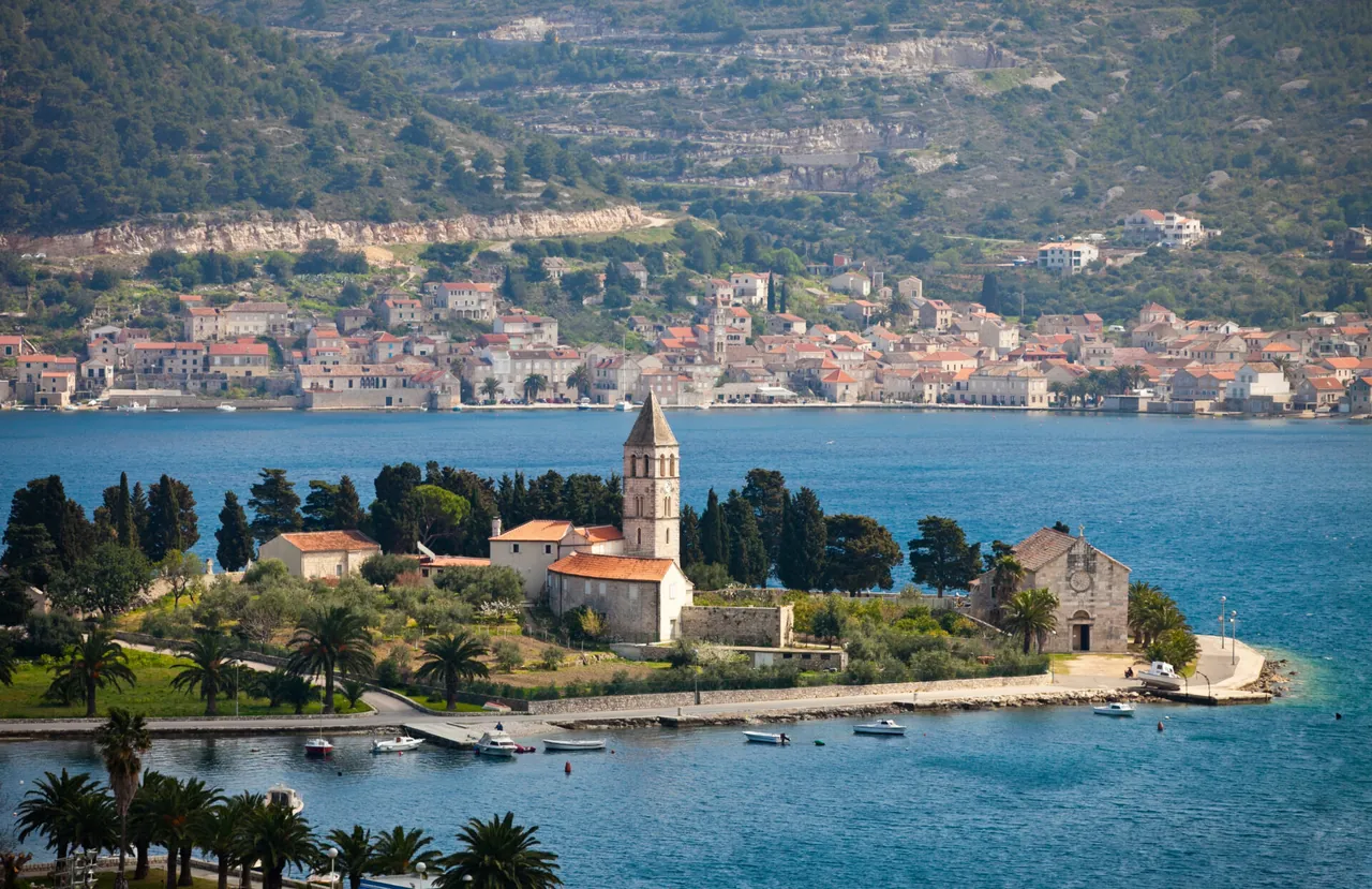
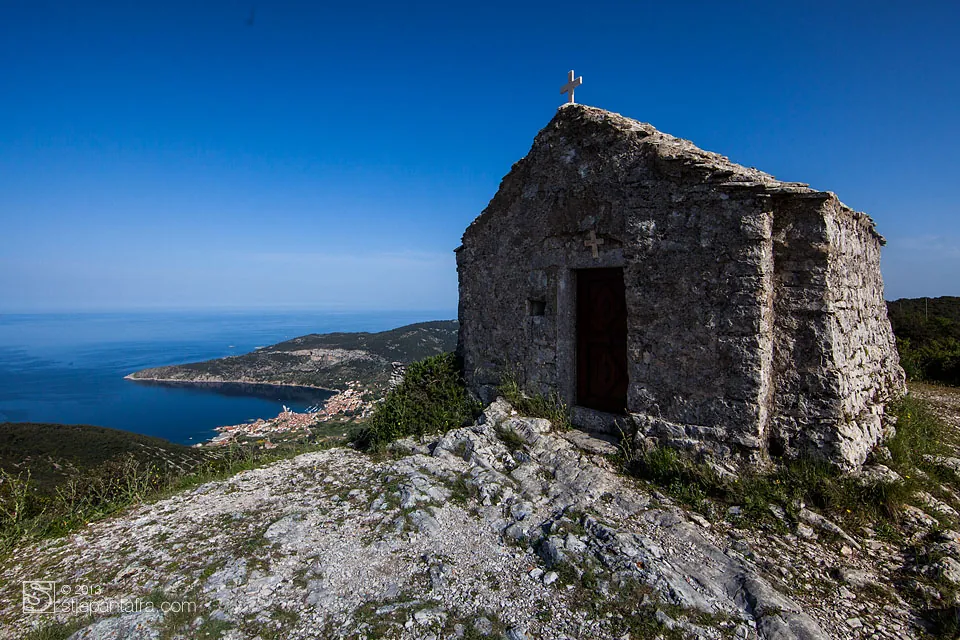
The town of Vis with a church on the peninsula 05/ 05
The town of Vis
Ferry and catamaran
The ferry and the catamaran from Split arrive here. A road crosses the island to Komiža, about 10 km.
The way to the door
A military zone
Until 1989 Vis was a military zone, closed to foreign visitors.
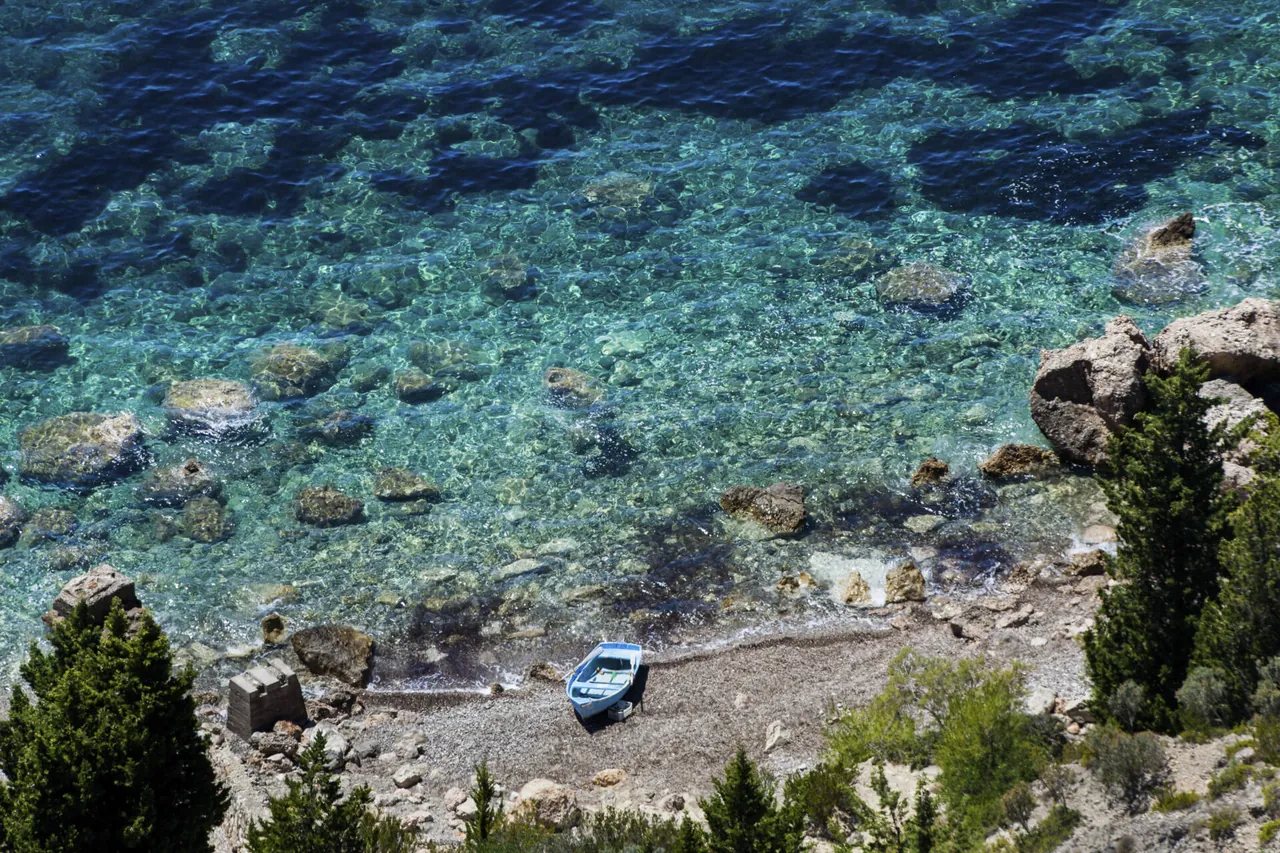
The sea
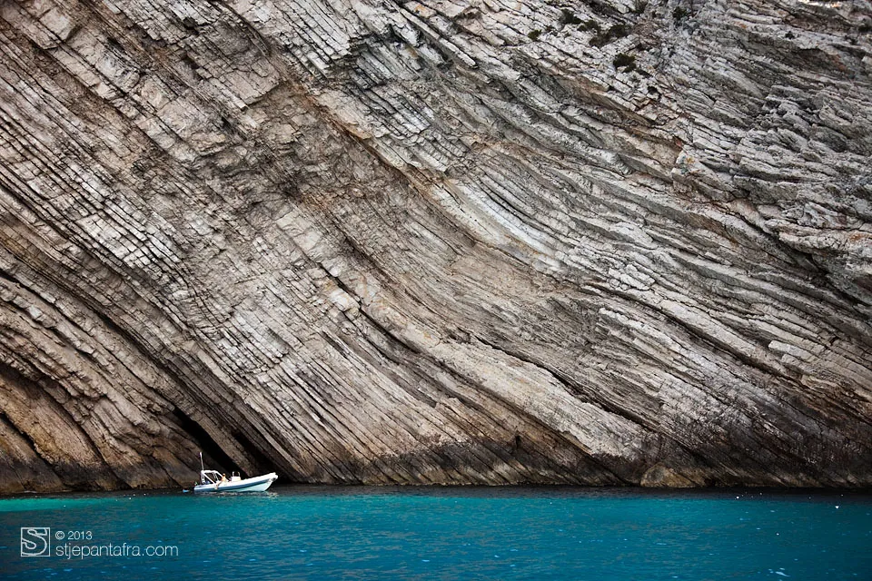
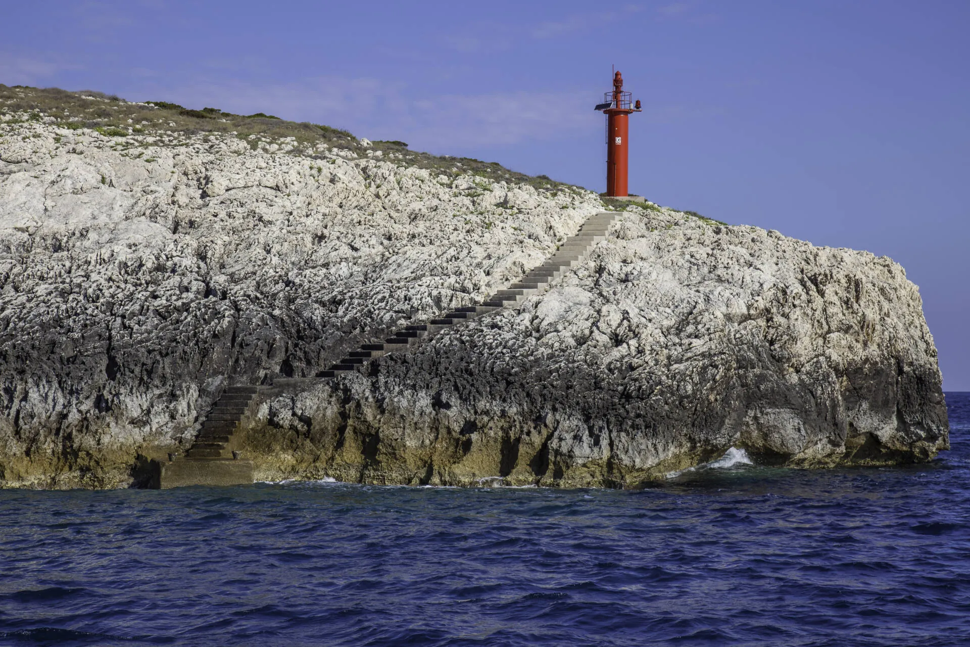
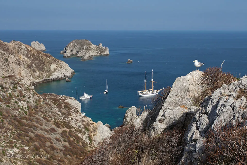
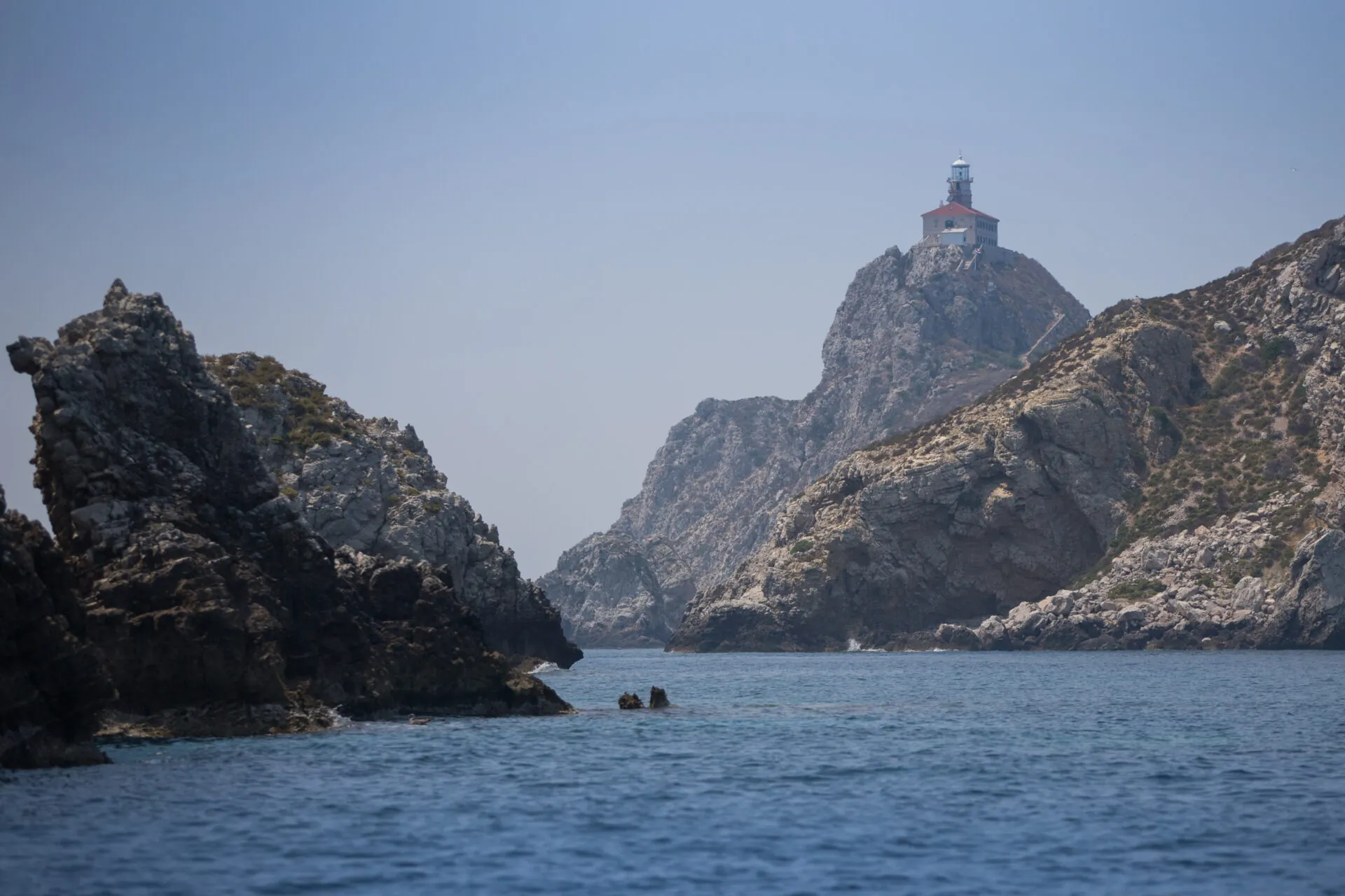
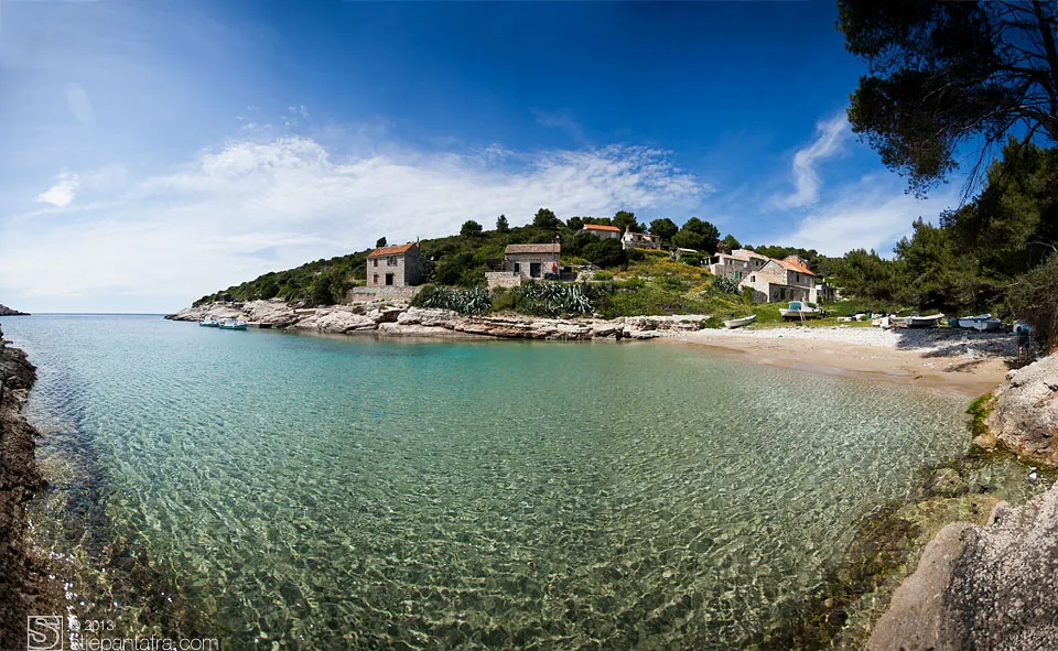
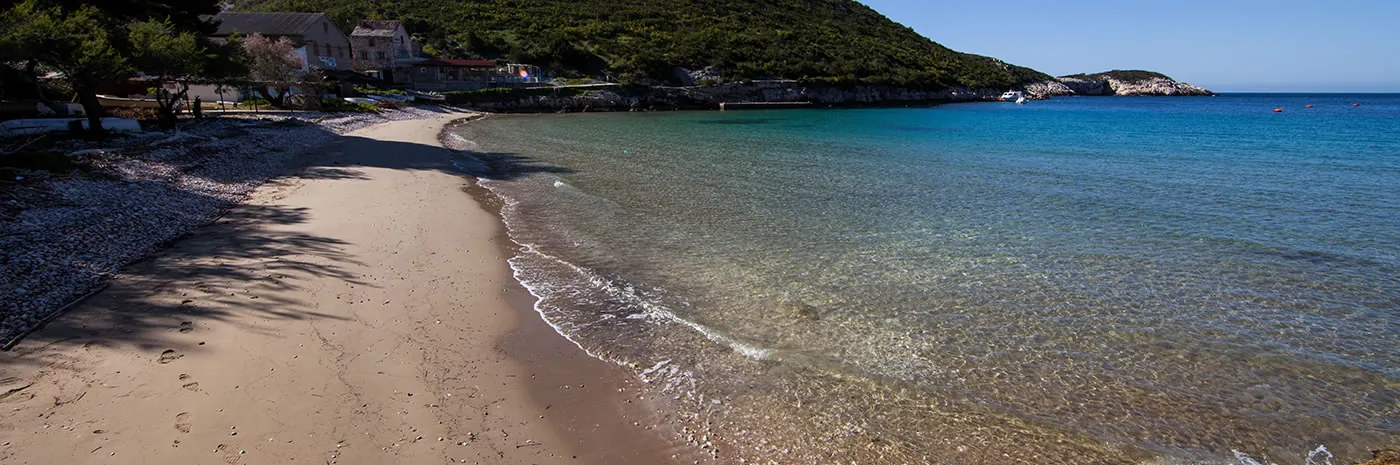
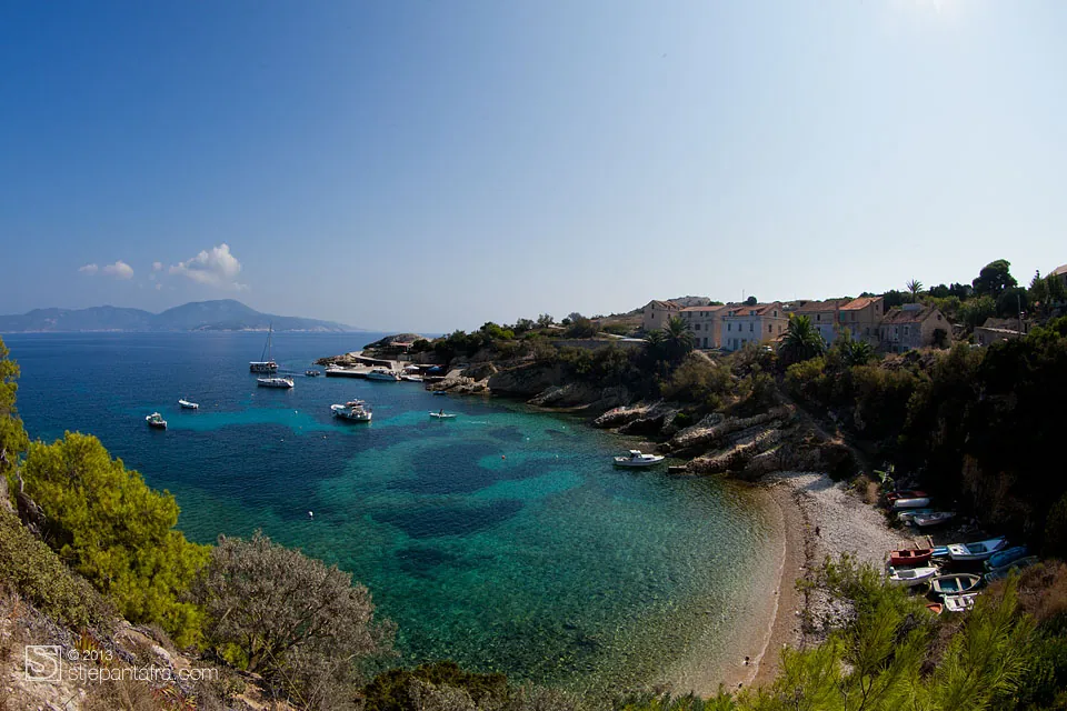
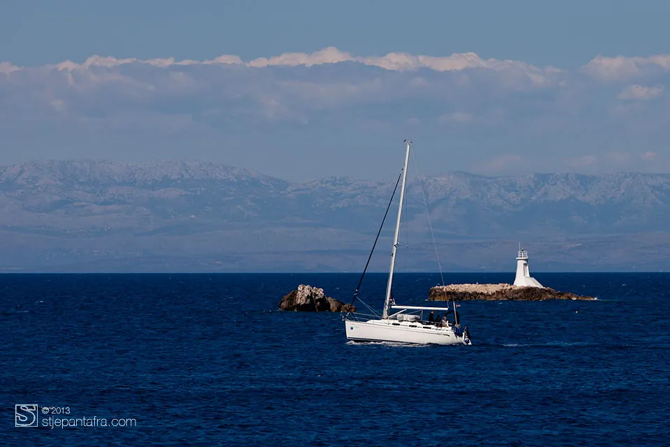
The sea around the island.
Coves, islets, cliffs and lighthouses. Every photograph opens full size.
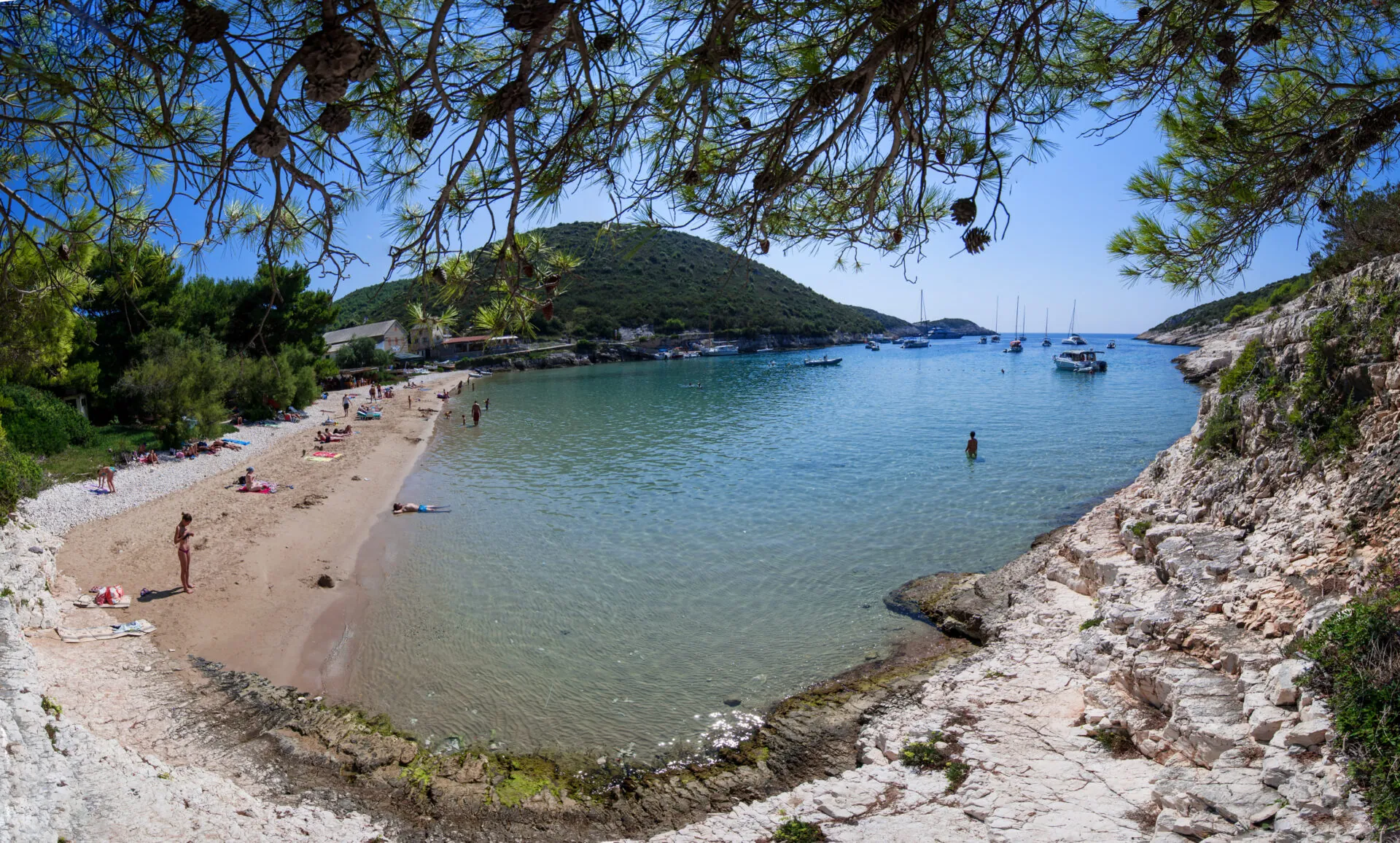
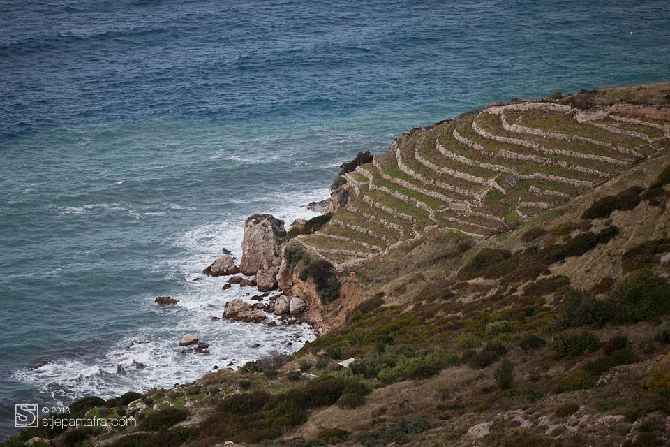
The land
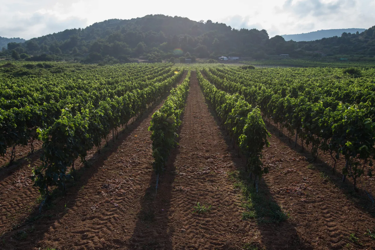
The island’s vineyards.
At the table
- VugavaThe island’s white wine.
- Plavac maliThe red grape grown on Vis.
- Komiška pogačaA pie with salted fish and onion.
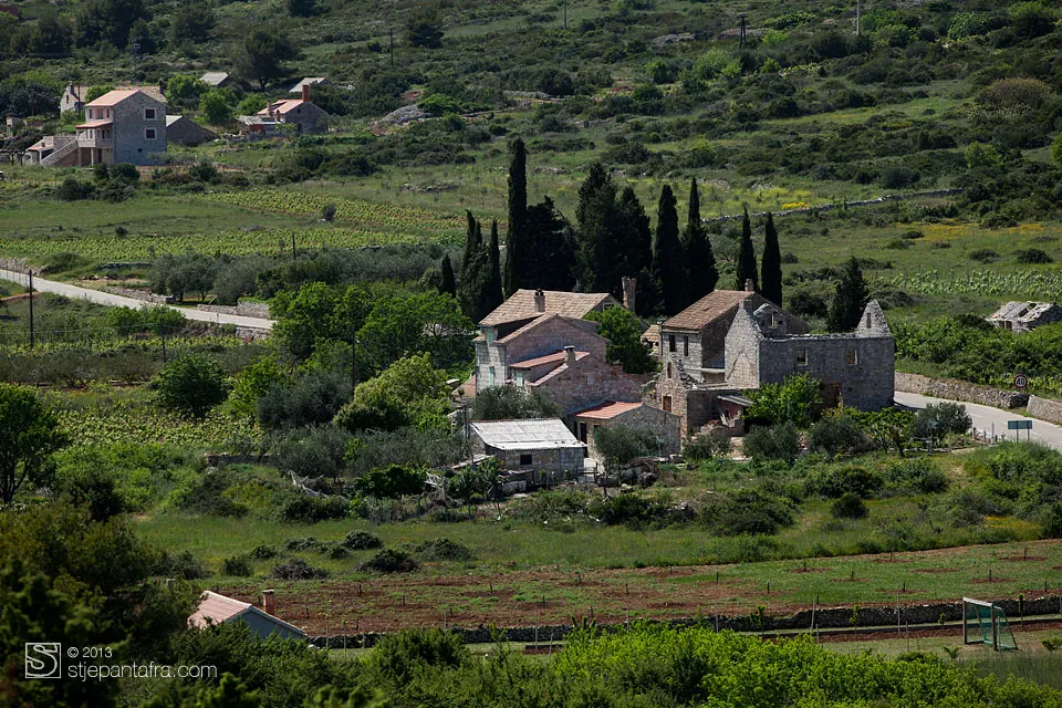
Inland
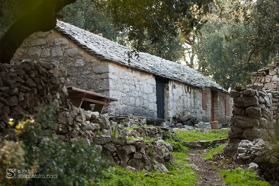
Stone, villages and fields.
An old map
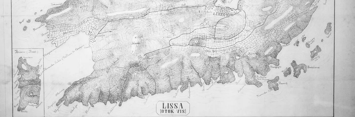
Lissa.
Lissa is the Italian name of Vis. This is the island on an old engraved map.